|
Going East - Back to Ontario
Page 1 of 5
Previous Next |
| |
|
|
|
BRITISH COLUMBIA |
|
|
|
After the Stewart-Cassiar Hwy I traveled east along the Yellowhead
Hwy in British Columbia towards Prince George.
I made the trip from the southern end of
the Stewart-Cassiar Hwy to Toronto in 24 days: Aug 14 - Sep 7
|
| |
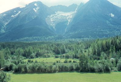 |
Hudson Bay Mountain,
west of Smithers. |
|
| |
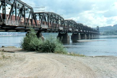 |
Bridge across the Fraser
River at Prince George. |
|
| |
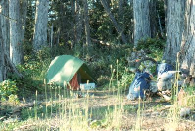 |
Campsite in the giant
cedars east of Goat River, which is east of Prince George,
heading towards Jasper. |
|
| |
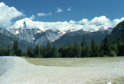 |
Mount Robson
(elevation 12,972 feet) - it's the high ice-covered peak on the left
side of the photo. |
|
| |
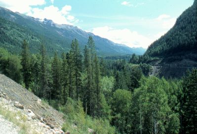 |
Yellowhead Pass. |
|
| |
|
Previous Next
|
|
|

