|
Stewart-Cassiar Highway
Page 1 of 5
Previous
Next |
| |
|
From Watson Lake, Yukon I headed down the Stewart-Cassiar
Highway into British Columbia.
I made the journey in 7 days: Aug 8 - 14
|
| |
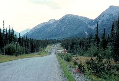 |
Fairly typical scenery
north of Cassiar, BC. |
|
| |
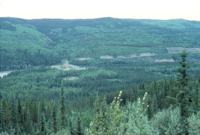
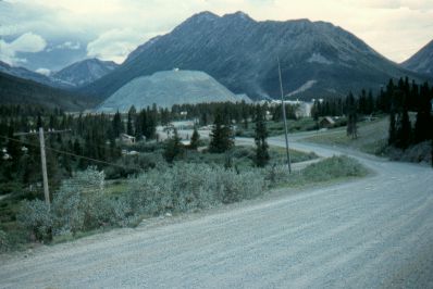 |
Near the town of Cassiar,
B.C.
This is a company town, fully owned by the nearby
asbestos mine. The mine is clearly visible in the middle of this
picture - the big pile of tailings. |
|
| |
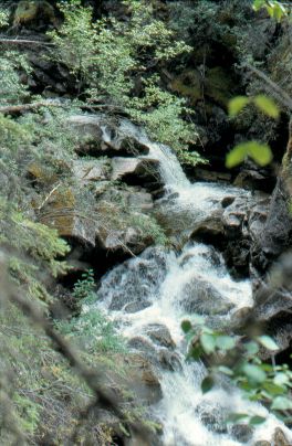 |
Packer Tom Creek,
south of Cassiar. |
|
| |
 |
Dease Lake. |
|
| |
 |
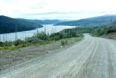
Visible down at the bottom
of the valley is the Stikine River bridge. The Stikine River
is a giant river.
Farther downstream it flows through a deep
valley/gorge known as the Grand
Canyon of the Stikine. You can't see it from the Hwy.
|
|
| |
|
Previous
Next
|
|
|

