 |
|
 |
|
Dempster Highway
Page 6 of 8
Previous
Next
|
| |
|
|
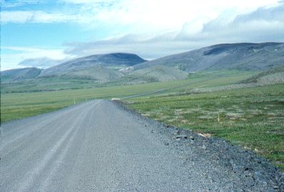
Mile 286.
Looking north towards the pass into
NWT. It is in the center of the picture, where the mountain
dips down.
There's actually quite a hill
leading up to the pass, but it doesn't look like it due to the lack
of trees to give perspective to the scene.
The white that is visible in the
middle distance on the road is a truck hauling the last of the
construction camp out. The road had just been completed only days before I traveled on it. |
|
| |
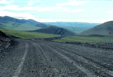 |
Near Mile 289.
View from
the top of the pass looking back south at the
Dempster Hwy stretching off into the distance.
It can be seen in this picture just how much the road has climbed to
reach this pass.
Notice that the Highway is built up
quite high above the surrounding land. This is so that the
underlying permafrost does not melt. If the road were not so
"thick", the heat of the sun on the road surface would
penetrate down and melt the permafrost, causing all sorts of
problems with the road, leading to major potholes, bumps and dips.
|
|
| |
|
|
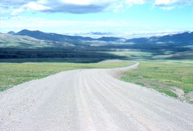
Mile 289. Just over
the pass, looking north into NWT. (The clouds are gone because this
picture was taken a few days later, on my return trip south).
|
|
| |
|
|
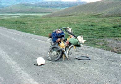
A real
lonely place to get a flat tire! Fortunately, I traveled fully
equipped to deal with just about any repair.
Altogether I had three flats on my trip up and
back on the Dempster.
There aren't many highways on which
you can repair a flat tire in the middle of the road without
worrying about being run over!
|
|
| |
|
|
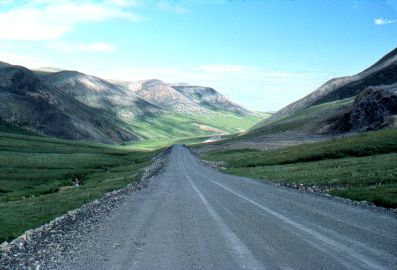
A small
narrow mountain pass within the Richardson Mtns.
In the far, far distance is the
great plain of the MacKenzie River basin, just peeking up in the far
center of the picture. No
other vehicles at all along this stretch. |
|
| |
|
Previous
Next
|
|
|
|