|
Going West - Toronto to
Dawson Creek
Page 6 of 6
Previous Next
ALBERTA |
| |
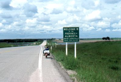 |
June 18, and I am heading
into Alberta, two weeks after leaving Toronto. |
|
| |
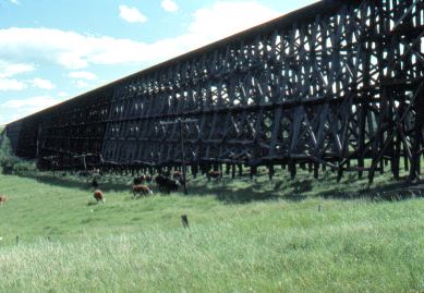 |
A huge old railway trestle.
This is actually made of wood! |
|
| |
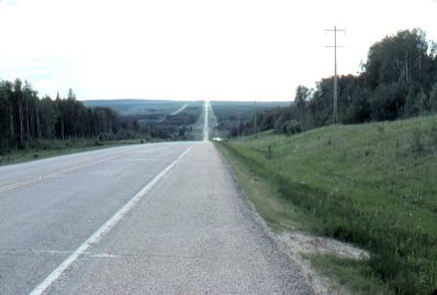 |
Typical country northwest of
Edmonton: Forested and relatively flat, or undulating.
There's a lot of oil and gas fields
in this area. I stayed a couple
of days at a place called Fox Creek. I was stuck while waiting
for a replacement tire when the tire that was one my bike was
damaged. Eventually I had to go back to the last town and
found a tire there. The owner
of the local motorcycle shop generously helped me out through this
minor crisis. |
|
| |
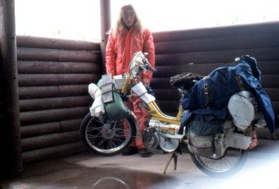 |
Here's a picture of me and the moped,
in a picnic shelter waiting out some rain. Still
in Alberta, northwest of Edmonton. |
|
| |
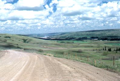 |
The mighty Peace River.
This is a northern farming and ranch area. The
Peace River has fashioned a truly huge valley for itself. I
remember the first time I came upon it, going downhill for what
seemed like miles, and then coming upon a sign that said there was a
steep hill ahead, and then continuing downhill for what seemed like
a couple more miles! |
|
| |
 |
The Peace River is the
only river to cross through the Rocky Mountains from west to east
(the Rocky Mountains are west of here).
Very picturesque!
|
|
| |
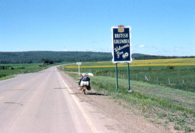 |
The British Columbia
border, not far from the start of the Alaska Highway at Dawson
Creek.
This was on June 24, three weeks from the start of
the trip. |
|
| |
|
Previous Next
On to the next
section: Alaska Highway |
|
|

