|
Travels Around the Yukon &
Alaska
Page 13 of 18
Previous Next
Taylor Highway to Eagle
(Alaska) - Page 2
|
| |
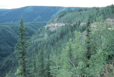 |
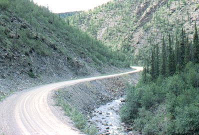
Mile 110
Past Polly Summit, on the way down to Fortymile
River.
This picture shows the cliff-hanging that this
road does on its way down off the ridge tops and back up again from
the deep valleys.
|
|
| |
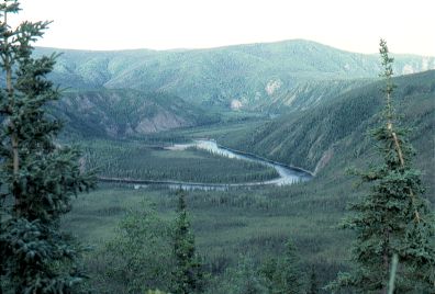 |
Mile 110
Fortymile River. |
|
| |
|
|
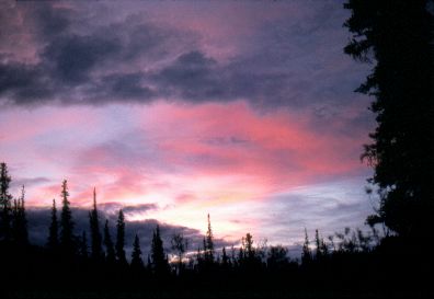
Mile 132
Sunset at Liberty Creek.
|
|
| |
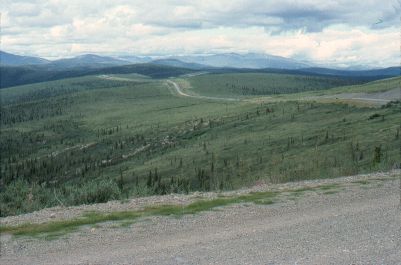 |
Mile 141
American Summit (elevation 3650 feet). |
|
| |
|
|
Mile 153
Coming down a gorge to Eagle.
|
|
| |
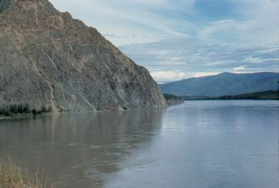 |
Mile 162
The Yukon River at Eagle: Eagle
Bluff.
|
|
| |
|
From Eagle I headed back south to the Dawson Road, which
heads east into the Yukon. In the Yukon this road is called Sixtymile Road
or Top of the World Hwy. |
| |
|
Previous Next
|
|
|

