Sixty Mile Road (Top of the World Hwy - Yukon) - Page 1
The Yukon-Alaska border.
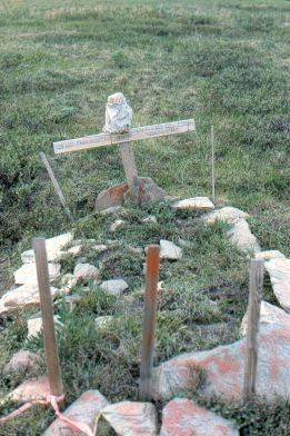
The cross reads:
"The Mad Trapper
R.I.P.
The End of the Trapline"
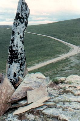
An old route guide marker
on top of a hill.
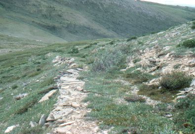
The old trail.
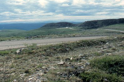
Getting nearer to Dawson
City.
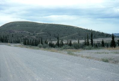
This hillside shows the fragility of the subarctic
landscape. These tracks will take a great many years to heal. Partly
because of the northern climate, but also because of the dryness of
the Yukon.