Moped Trip website

Dempster Highway

Page 4 of 8
Previous    Next


As the road ascends up to the Eagle Plain, a continuous panorama of the far-off Ogilvie Mountains unfolds.


Here's a look back south at the long climb up to the Eagle Plain.  It's not visible in this picture, but the highway runs through the bottom of the valley in the distance.

By this point the road is quite high up above the valley.

This is near Mile 160.


After ascending to the top, here at Mile 165, the road now travels across the Eagle Plain for the next 60 or 70 miles.

Big, empty country.


This 
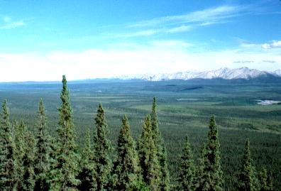
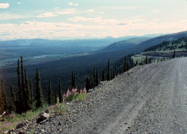
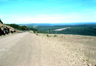
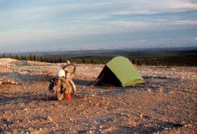
picture shows how the Highway follows along the top of a ridge across the Eagle Plain, giving far-ranging panoramas of the plain.  However, there are long stretches where trees block out the views.

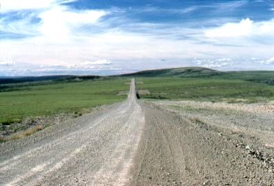
In this empty country I considered it a high-traffic day if 10 vehicles passed me during the course of a day. On this day, a total of 7 vehicles passed me, both ways.

From time to time the road doubles as an airstrip. One of these can be seen in the distance (the wider gravel area).


Here's another campsite in the evening, this time in a gravel pit. There weren't many formal campgrounds along the road.

In the distance the Ogilvie Mountains can still be seen.


Previous    Next


The material on this page is copyright © by the original author/artist/photographer. This website is created, maintained & copyright © by Walter Muma
Please respect this copyright and ask permission before using or saving any of the content of this page for any purpose

Thank you for visiting!