MOPEDTRIP.COM
The longest journey ever undertaken on a true moped (until 2007)
HOME
Intro & Overview
Heading West
Alaska Hwy
Dempster Hwy
Alaska & Yukon
Stewart-Cassiar Hwy
Heading East
How I Did It
World Record
Radio Interview
Articles
Moped Trips by Others
Links

Search

Email me

About this Site

1978 Moped Trip to
Alaska, Yukon, and NWT


Travels Around the Yukon & Alaska
(Page 9 of 18)
Previous    Next

Haines Road (Yukon to Alaska) - Page 1


Haines Road runs from the Alaska Hwy at around Mile 1015 south through the extreme northwest corner of British Columbia to Haines Alaska. Haines is on the coast of the Pacific Ocean, so the road runs through the Coastal Mountains.


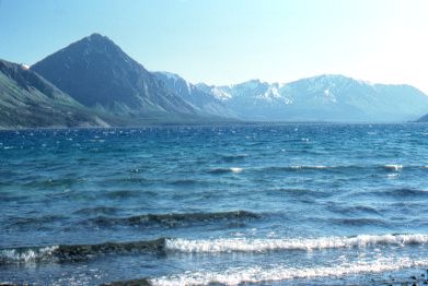
Kathleen Lake, near the northern end of the Haines Road.
  
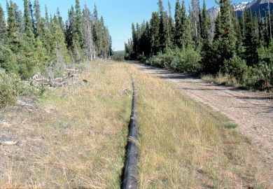
The old Canol pipeline (see the Canol Road section).
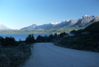
  
Dezadeash Lake, about 18 miles south of the Alaska Hwy.
  
Beautiful sunset light.
  

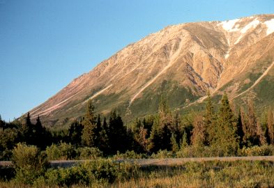
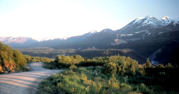
About 45 miles south of the Alaska Hwy


Previous    Next


1978 Moped Trip
to Alaska, Yukon & NWT

The material on this page is copyright © by the original author/artist/photographer
This website is created, maintained & copyright © by Walter Muma
Please respect this copyright and ask permission before using or saving any of the content
of this page for any purpose

-- These other websites may also interest you --

Ontario Wildflowers   Ontario Trees & Shrubs   Ontario Ferns   Ontario Grasses   Ontario Insects
Mumart   World of Mosses   Wild Ontario   Trans-Labrador Hwy   James Bay Road   Rupert River   Moped Trip
Wildwood Survival   Wildwood Tracking   Leatherwood Trail   Tracker Trail   Earth Caretaker   Wildwood Canada

Thank you for visiting!