 |
|
 |
|
Alaska Highway
Page 7 of 15
Previous
Next
|
|
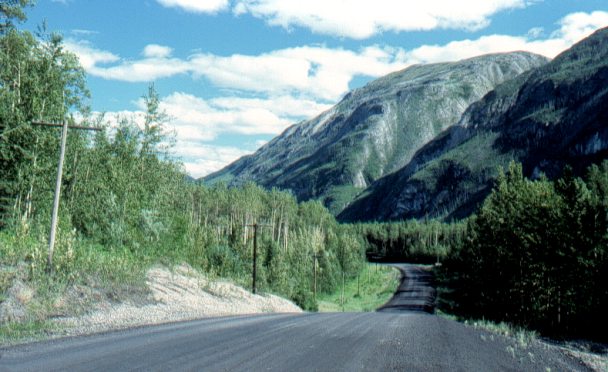
Mile 504
This section of the Alaska Hwy is paved with clay,
shale, and coal, hence the black colour.
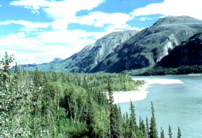
The Hwy travels alongside the Liard River for many
miles. The Liard is one of the great rivers of the north, eventually
merging with the MacKenzie River far north of here. |
|
|
| |
|
|
Mile 506
The Liard River. |
|
| |
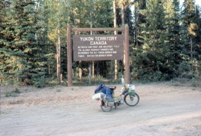 |
Mile 588
The B.C. - Yukon border!
The Alaska Hwy crosses and re-crosses this border
something like seven times as it heads west and north into the
Yukon.
|
|
| |
|
|
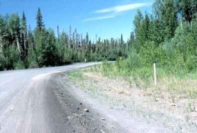
Mile 623
The black-tipped white post in the right of the photo is a
"milepost". These are located every mile along the Hwy.
This shows fairly typical vegetation and road
along here.
There are stretches of the road that twist and turn for
no apparent reason, along flat and dry ground. This was apparently
to make it more difficult for enemy aircraft to fly along above the
Hwy and bomb out an army convoy (remember, the Alaska Hwy was built
during WW II as a military road). |
|
| |
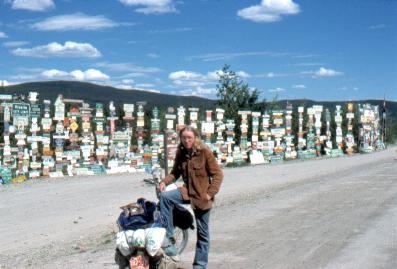 |
Mile 634
Watson Lake, Yukon. This
is the second largest city in the Yukon, with a population of about
1200.
These are the Watson Lake Signposts. The
story goes that when
the Alaska Hwy was being built, one of the soldiers grew
homesick. So he put up a sign from his hometown. Others
followed suit, and when the Hwy was opened to the public after the
war ended, travelers added their own signs. Now there are
thousands.
|
|
| |
|
From Watson Lake I began my explorations
of the Yukon and Alaska by heading up
the Robert Campbell Hwy
and the Nahanni Range
Road, and back down the Canol
Road from Ross River to the Alaska Hwy. I then
explored the Atlin area
and dropped down to Haines
Alaska before continuing up the Alaska Hwy to Fairbanks
Alaska.
This travelogue however, continues along the Alaska Hwy,
so that you may view the entire length of the Hwy in order.
|
| |
|
Previous
Next
|
|
|
|